
Features
Regularly updated, full-color maps
Clearly labeled Interstate, U.S., state, and county highways
40% larger map with a bigger type size than the Rand McNally Folded Map
Indications of county boundaries, schools, shopping malls, parks, golf courses, hospitals, airports, and points of interest
Mileage and driving times map
Detailed index
Copyright 2023
Coverage Area Detailed maps of: Bakersfield, Fresno, Joshua Tree National Park, Kings Canyon Natl Park & Sequoia Natl Park, Lake Tahoe Region, Lancaster/Palmdale, Los Angeles, Modesto, Monterey/Salinas, Oceanside, Oxnard/Ventura, Palm Springs, Sacramento, San Diego
Discover More Best Sellers in Maps
Shop Maps

British Virgin Islands BVI Dive Map Laminated Poster By Franko Maps

 Maps - British Virgin Islands BVI Dive Map Laminated Poster By Franko Maps


 Maps - Gifts Delight Laminated 24x34 Poster: Physical Map - Maps of Portugal Detailed map of Portugal in English Tourist map of Portugal Road map of

Gifts Delight Laminated 29x24 Poster: Road Map - Map of Oregon - 100 More Photos
Maps - Gifts Delight Laminated 29x24 Poster: Road Map - Map of Oregon - 100 More Photos
 Maps - 1943 Flat Earth World Map | Polar Azimuthal Equidistant Projection Map | Large Wall Art Poster Print (3 sizes) (23"x34")
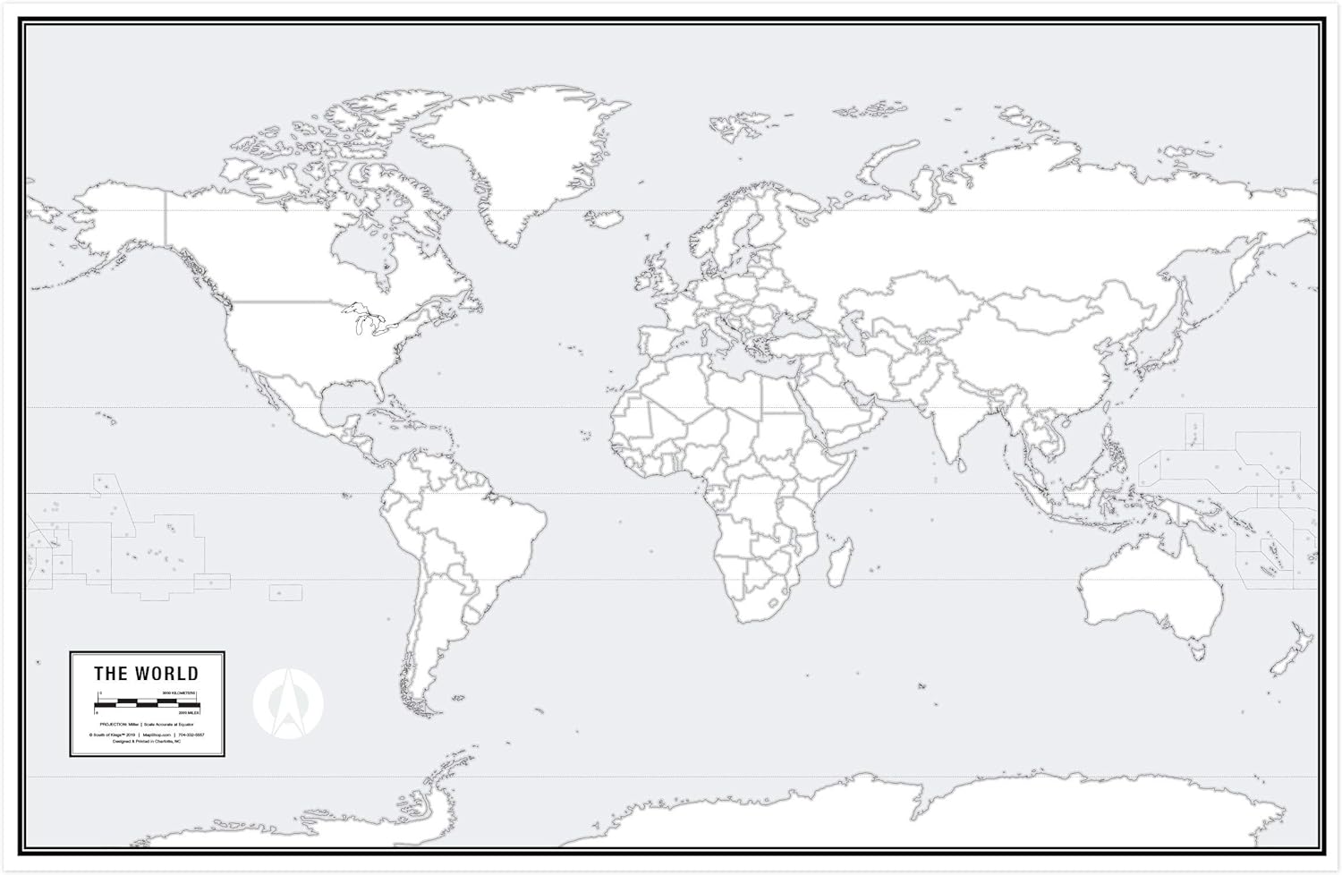 Maps - Large Blank World Outline Map Poster, Laminated, 36” x 24” | Great Blank Wall Map for Classroom or Home Study | Free Dry Erase Marker Included | Includes Detailed Laminated Answer Sheet | Learn Fast!

NewSpaceView Natural Learning 2-Sided Placemat (5 Desk Maps: USA/USA Centered World Map)
Maps - NewSpaceView Natural Learning 2-Sided Placemat (5 Desk Maps: USA/USA Centered World Map)

