

Features
22.75 x 15.5 inches. Printed on polypropylene. The material is stronger than most papers and unlikely to crease or rip. The matte finish eliminates glare, and adds texture to the map. Ideal for display. Please note this map is NOT laminated - the page is not appropriate for dry-erase markers. Flat map, tubed for shipping.
Perfect for home, business, or school, this United States Interstate Highways wall map shows the Interstate Highway System of the United States, along with other important Federal and state highways. Details included on this wall map include: international and state/provincial boundaries; freeways, tollways, and other major roads; cities and towns; time zones; and all National Parks in the United States. Insets of Alaska and Hawaii are also included on this map. Special features include colored relief and a white decorative border. Created by Globe Turner, one of the leading producers of map products in the USA.
Details
Are you a travel enthusiast or do you simply love to explore new places? Look no further! Our USA Interstate Highways Wall Map is the perfect companion for all your wanderlust adventures. Measuring at a convenient 22.75" x 15.5", this map is the ideal size to hang in your home, office, or classroom. Printed on durable polypropylene, this map is incredibly strong and resistant to creasing or ripping, ensuring that it will last for years to come.
What sets our wall map apart from the rest is its matte finish. Say goodbye to annoying glares that hinder your reading! The matte finish not only eliminates glare, but also adds a unique texture to the map, enhancing its visual appeal. Whether you're studying the map for educational purposes or simply admiring it, the matte finish adds a touch of sophistication to any setting.
Planning a road trip? Our wall map has got you covered! It showcases the entire Interstate Highway System of the United States, along with other important Federal and state highways. You'll be able to easily identify major roads, cities, towns, and even time zones. Want to explore Alaska or Hawaii? No problem! This map includes insets of both states, ensuring that you have a complete overview of the entire United States.
At Globe Turner, we take pride in producing high-quality map products. That's why our USA Interstate Highways Wall Map features colored relief and a white decorative border, making it not only informative but also aesthetically pleasing. Rest assured, this map has been carefully crafted to provide you with accurate and detailed information.
Don't miss out on this essential travel and educational tool. Order your USA Interstate Highways Wall Map today and start planning your next adventure! Click here to order now!
Discover More Best Sellers in Maps
Shop Maps


 Maps - Detailed Scratch off World Map Poster - XL - Black and Gold Scratchable World Map - Glossy, Laminated Travel World Map - Full Accessories Kit - Best Gift Scratch off Map of the World By Divalis
 Maps - 1DEA.me USA Photo Map - 50 States Travel Map - 24 x 36 in - Includes Secure Photo Maker - Easy to Use, Built to Last and Uniquely Yours - Unframed - Gray
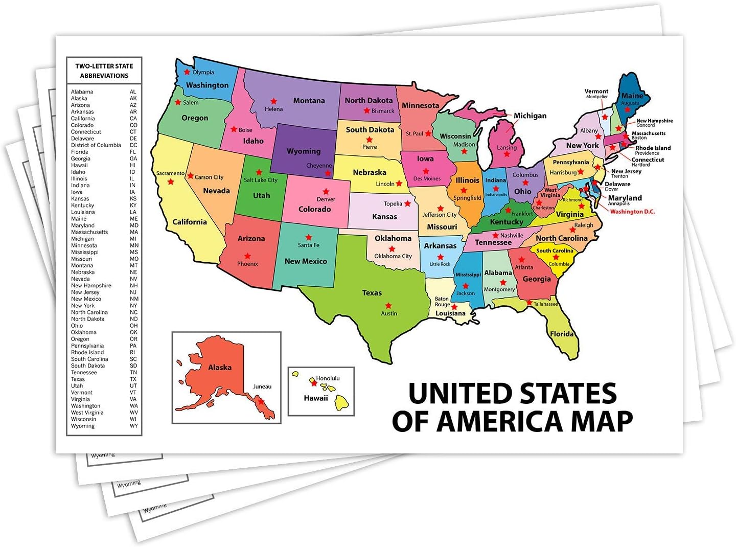
 Maps - United States Map - USA Poster, US Educational Map - With State Capital - for Ages Kids to Adults- Home School Office - Printed on 12pt. Glossy Card Stock | Bulk Pack of 10 | 12 x 18 Inches

National Geographic: Antarctica Wall Map - 28 x 22 inches - Paper Rolled
Maps - National Geographic: Antarctica Wall Map - 28 x 22 inches - Paper Rolled

Chicago, Illinois Wall Map, Large - 30" x 29" Paper
Maps - Chicago, Illinois Wall Map, Large - 30" x 29" Paper

Cool Owl Maps Virginia State Wall Map Poster Large Print Rolled 36"Wx18"H - Paper
 Maps - Cool Owl Maps Virginia State Wall Map Poster Large Print Rolled 36"Wx18"H - Paper


