

Description
Dimensions: 3' 4" wide x 4' 0" tall tall Map Scale: 10,000 ft/in North - All of Cherokee County, South - All of Spalding County, East - All of Gwinnett County, West - All of Douglas County.
Details
Don't get lost in the endless maze of streets and highways in Atlanta! Our Metro Atlanta Zip Code Wall Map is here to save the day. With its up-to-date ARTERIAL map data, you'll have all the information you need to navigate with ease. From cities to exit ramp numbers, interstates to state roads, this laminated map has it all. No more wasting time trying to find your way - our map will be your guide to success.
What sets our Metro Atlanta Zip Code Wall Map apart from the competition is its attention to detail. We know how important it is to have accurate information, which is why our maps display zip code numbers and boundaries in red. You'll never have to wonder which zip code you're in again. Whether you're a delivery driver, a real estate agent, or simply someone who wants to explore Atlanta, this map is an invaluable resource.
But that's not all! Our wall map also includes major parks and water bodies, so you can easily plan your outdoor adventures. Imagine having all this information at your fingertips, neatly displayed on a high-quality laminated map. It's time to take control of your travels and make every journey a breeze.
Ready to explore Atlanta like never before? Order your Metro Atlanta Zip Code Wall Map today and unlock the secrets of the city. You'll wonder how you ever managed without it. Click here to make your purchase now!
Discover More Best Sellers in Maps
Shop Maps


 Maps - National Geographic World Wall Map - Executive - Laminated (Enlarged: 73 x 48 in) (National Geographic Reference Map)

Hwy 395, Carson City to Lone Pine, Eastern Sierra Recreation Map
Maps - Hwy 395, Carson City to Lone Pine, Eastern Sierra Recreation Map

24x36 World Classic Elite Wall Map Mural Poster Laminated
Maps - 24x36 World Classic Elite Wall Map Mural Poster Laminated

Gifts Delight Laminated 24x31 Poster: Political Map - Map of Europe 2012 Thefreebiedepot
 Maps - Gifts Delight Laminated 24x31 Poster: Political Map - Map of Europe 2012 Thefreebiedepot

Gifts Delight Laminated 27x24 Poster: Road Map - Highway Map of West Virginia Virginia Map
Maps - Gifts Delight Laminated 27x24 Poster: Road Map - Highway Map of West Virginia Virginia Map

National Geographic: Peoples of Africa 1971 - Historic Wall Map Series - 24.5 x 22.5 - Laminated
Maps - National Geographic: Peoples of Africa 1971 - Historic Wall Map Series - 24.5 x 22.5 - Laminated
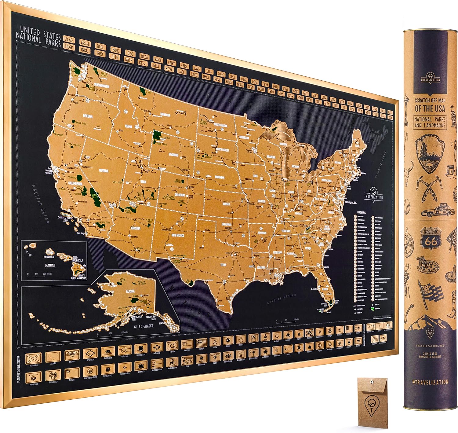 Maps - Scratch Off Map of the United States National Parks - 24x17 Scratch Off USA Map Poster with National Parks, Landmarks, Highest Peaks, and State Flags - USA Scratch Off Map for Outdoor Enthusiasts

