

Features
- Large Scale, Easy to Read Current Data and Info
- Zip Codes Included
- Laminated or Paper
Details
Looking for a reliable and accurate map of Dallas County? Look no further! Our Dallas County Detailed Arterial Wall Map is the perfect tool for navigating through the streets and zip codes of this vibrant county. With its large scale and easy-to-read format, this map provides you with the most current data and information you need to make informed decisions.
One of the standout features of this map is the inclusion of zip codes. Whether you're a business owner looking to target specific areas or a resident wanting to explore different neighborhoods, having zip codes at your disposal is invaluable. With just a glance, you can quickly reference and plan your routes accordingly, saving you time and effort.
Worried about wear and tear? Our Dallas County Detailed Arterial Wall Map comes with the option of being laminated or printed on high-quality paper. The laminated version not only protects your investment from spills and creases but also enhances its durability and longevity. It's the perfect choice for high-traffic areas or busy individuals who require a map that can withstand constant use.
Whether you're a newcomer or a longtime resident, this map will become an essential companion for all your navigation needs. Find your way around Dallas County with ease and confidence. Don't miss out on this must-have map – get yours today and start exploring! Click here to place your order now.
Discover More Best Sellers in Maps
Shop Maps

 Maps - National Geographic World Wall Map - Executive - Laminated (46 x 30.5 in) (National Geographic Reference Map)

World Voyage Planner: Planning a Voyage from Anywhere in the World to Anywhere in the World
Maps - World Voyage Planner: Planning a Voyage from Anywhere in the World to Anywhere in the World


Wall Pops WallPops WPE1898 World Dry Erase Map Decal, Multicolor
Maps - Wall Pops WallPops WPE1898 World Dry Erase Map Decal, Multicolor
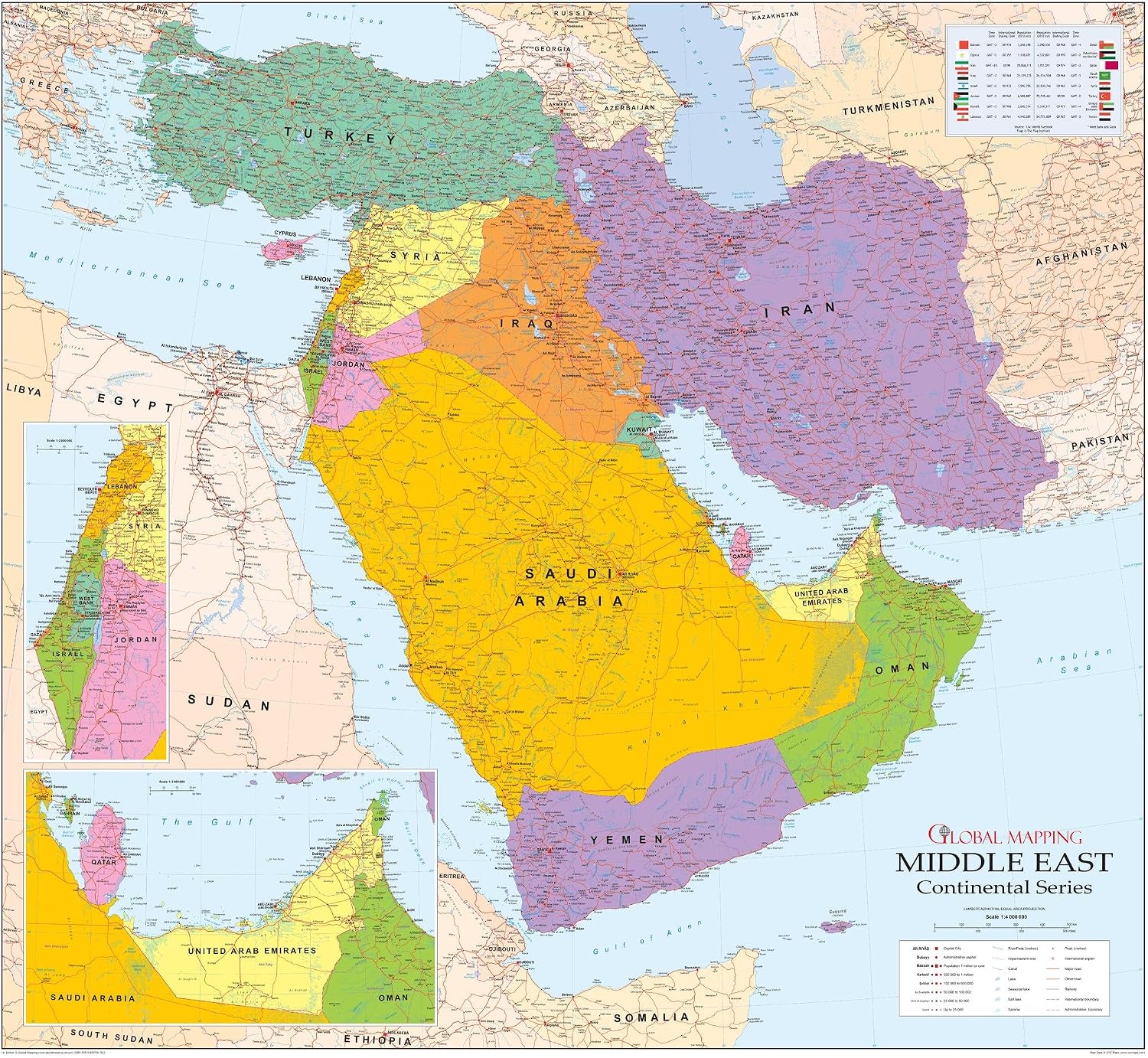
Middle East Wall Map - 42.5" x 39" Matte Plastic
 Maps - Middle East Wall Map - 42.5" x 39" Matte Plastic
 Maps - 1DEA.me USA Photo Map - 50 States Travel Map - 24 x 36 in - Includes Secure Photo Maker - Easy to Use, Built to Last and Uniquely Yours - Unframed - Gray
 Maps - Large World Map for Wall - Poster with Flags & Capitals - Educational World Map for Kids & Adults - Colorful Global Maps with 50 Interesting Facts - Classroom & Homeschool Decor


