
Laminated Vintage Map of Europe Travel World Political Map Cities in Detail Map Posters for Wall Map Art Wall Decor Geographical Illustration Tourist Travel Destinations Poster Dry Erase Sign 24x36

$16.98
Description
Book Synopsis: Laminated Vintage Map of Europe Travel World Political Map Cities in Detail Map Posters for Wall Map Art Wall Decor Geographical Illustration Tourist Travel Destinations Poster Dry Erase Sign 24x36
Read more
Details
Are you a travel enthusiast, a history buff, or simply someone who appreciates beautifully designed wall art? Look no further! Our Laminated Vintage Map of Europe is the perfect addition to your home decor. With its intricate details and vibrant colors, this map will transport you to the heart of Europe, letting you explore its cities and landmarks from the comfort of your own home.
Not only is this map visually stunning, but it also serves as a valuable educational tool. Its political boundaries and detailed geography make it an excellent resource for students, teachers, and anyone interested in learning more about European countries and their capitals. Whether you're planning your next trip or simply curious about the world, this map is a must-have for everyone.
What sets our map apart from the rest is its laminated finish. This protective coating not only adds durability, but it also allows you to write on the map with dry erase markers, keeping track of your travels and marking your favorite destinations. It's not just a wall decoration, it's a fully interactive experience that encourages you to explore, dream, and imagine your next adventure.
Don't miss out on this opportunity to own a piece of art that not only enhances your living space but also fuels your wanderlust. Click here to order your Laminated Vintage Map of Europe now and embark on a journey of exploration and discovery.
Discover More Best Sellers in Maps
Shop Maps
Walt Disney World Resort 4 Theme Parks Downtown Springs Vacation Planning Guide Maps

 Maps - Walt Disney World Resort 4 Theme Parks Downtown Springs Vacation Planning Guide Maps
 Maps - W WANDERLUST MAPS XL Scratch Off Map of the World - Deluxe Extra Large Scratch-Off International Poster with Colourful Countries, Capitals, Cities, Landmarks, Cartography, Flags - Travel Gift - Made in Europe
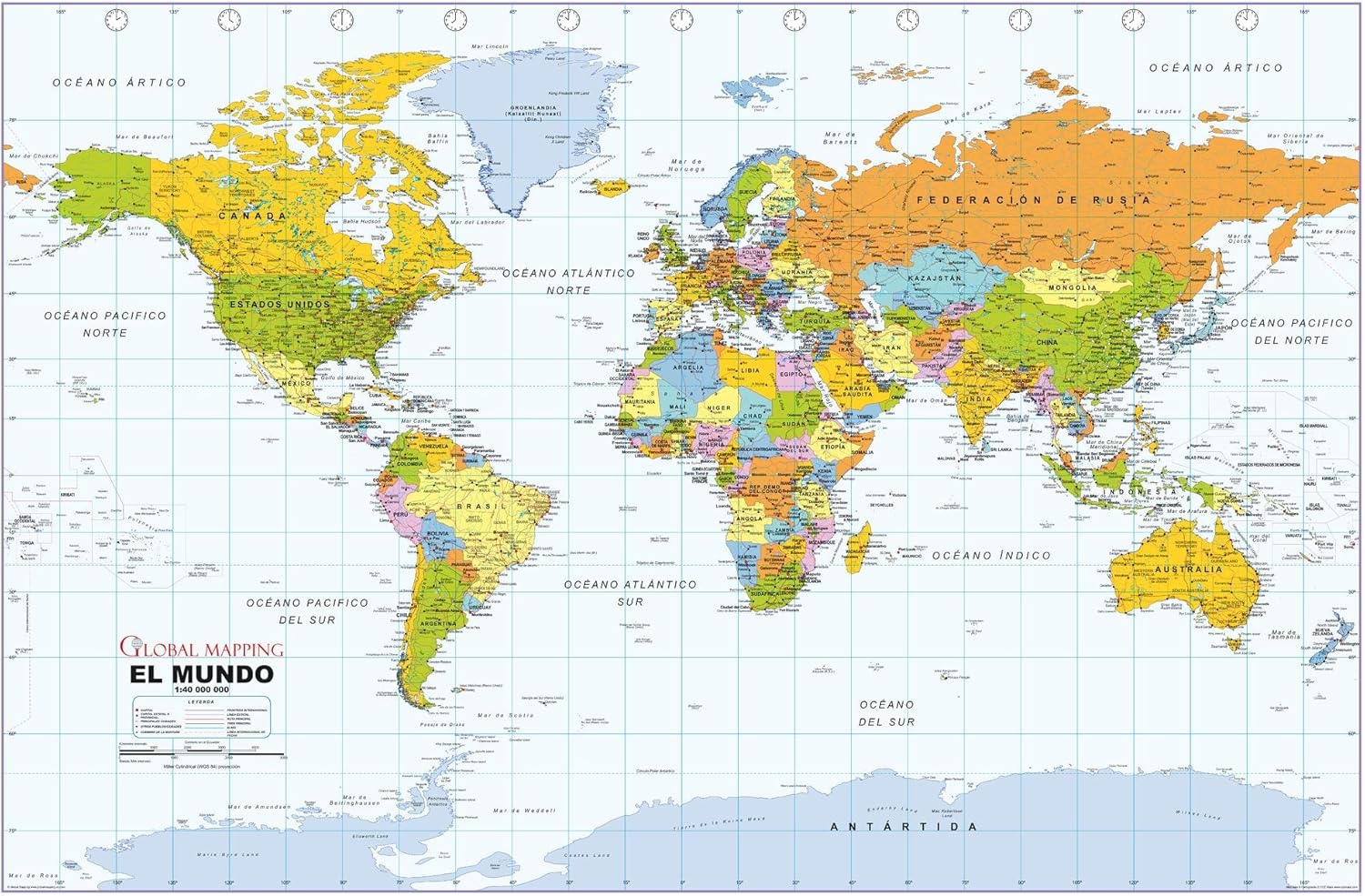 Maps - Political World Wall Map, Spanish Language, Mapa político del mundo, idioma español - 40.75 x 27 inches - Paper - Flat Tubed

Laminated Retro Color Political Map of United States USA Photo Art Print Poster Dry Erase Sign 18x12
Maps - Laminated Retro Color Political Map of United States USA Photo Art Print Poster Dry Erase Sign 18x12

Tarrant County TX (Fort Worth) Detailed Arterial Wall Map (36"x40") w/Zip Codes (Paper)
 Maps - Tarrant County TX (Fort Worth) Detailed Arterial Wall Map (36"x40") w/Zip Codes (Paper)

Teacher Created Resources Travel the Map Computer Paper, 8.5" x 11", 50 Sheets
Maps - Teacher Created Resources Travel the Map Computer Paper, 8.5" x 11", 50 Sheets
 Maps - US National Parks Scratch Off Map - Large Scratch Off National Parks Poster 24"x 17" 62 US National Parks. Gold Foil Featuring Detailed Images. Includes Scratch Off Pen, Pick and Brush

Cool Owl Maps Illinois State Wall Map Poster Large Print Rolled 24"Wx30"H (Laminated)
Maps - Cool Owl Maps Illinois State Wall Map Poster Large Print Rolled 24"Wx30"H (Laminated)

