
Teaching Tree United States USA Wall Map 39.4" x 27.5" State capitols Cities State & International Boundaries Major Rivers Lakes Timeline

$5.29
Features
— Wall Map United States —
States, cities, rivers, lakes, State Capitals
Details
Discover the rich history, geography, and culture of the United States with the Teaching Tree United States USA Wall Map! With its precise details and eye-catching design, this 39.4" x 27.5" map is an essential addition to any classroom or home. Explore the state capitals, major cities, international boundaries, and even the famous rivers and lakes that shape our nation. This interactive map is not just an educational tool, but a captivating piece of art that will spark curiosity in learners of all ages.
Knowing your way around the United States has never been so easy and exciting. Make learning fun and engaging with the Teaching Tree United States USA Wall Map! Whether you are a student studying for a geography test, a teacher looking to enhance your lesson plans, or a parent seeking to expand your child's knowledge, this map is a must-have. The detailed state capitals, cities, rivers, lakes, and even a timeline make it a comprehensive resource for exploring the United States.
Expand your knowledge horizon and immerse yourself in the wonders of the United States with the Teaching Tree United States USA Wall Map. The high-quality materials used in its production ensure durability, allowing you to enjoy this map for years to come. Hang it on your wall and watch as conversations ignite and imaginations soar. With its clear labeling and distinct visuals, this map effortlessly blends education and decoration, making it a versatile and valuable asset for any setting.
Don't miss out on this exceptional opportunity to bring the United States to life in your home, classroom, or office. Order your Teaching Tree United States USA Wall Map today and embark on an exciting journey of discovery. Explore the state capitals, major cities, rivers, lakes, and so much more at your fingertips. Start learning with passion and fuel your desire to uncover the beauty and complexity of the United States.
Get your Teaching Tree United States USA Wall Map now and pave the way to a deeper understanding of our great nation!
Discover More Best Sellers in Maps
Shop Maps
Japan Map (National Geographic Adventure Map, 3023)
 Maps - Japan Map (National Geographic Adventure Map, 3023)

 Maps - Streetwise San Diego Map - Laminated City Center Street Map of San Diego, California - Folding pocket size travel map with trolley lines


 Maps - Conquest Maps Map of The World Poster Antique Vintage Map Style-Travels & Adventures! Quality Matte Paper - Pirate Style World Treasure map - City/State/Country Labels - 2015 Data (36 x 24 Inches)

 Maps - Gifts Delight Laminated 24x30 Poster: Diagram Collection Israel Political Map - More Maps, Diagram and Concept Wiring Diagram
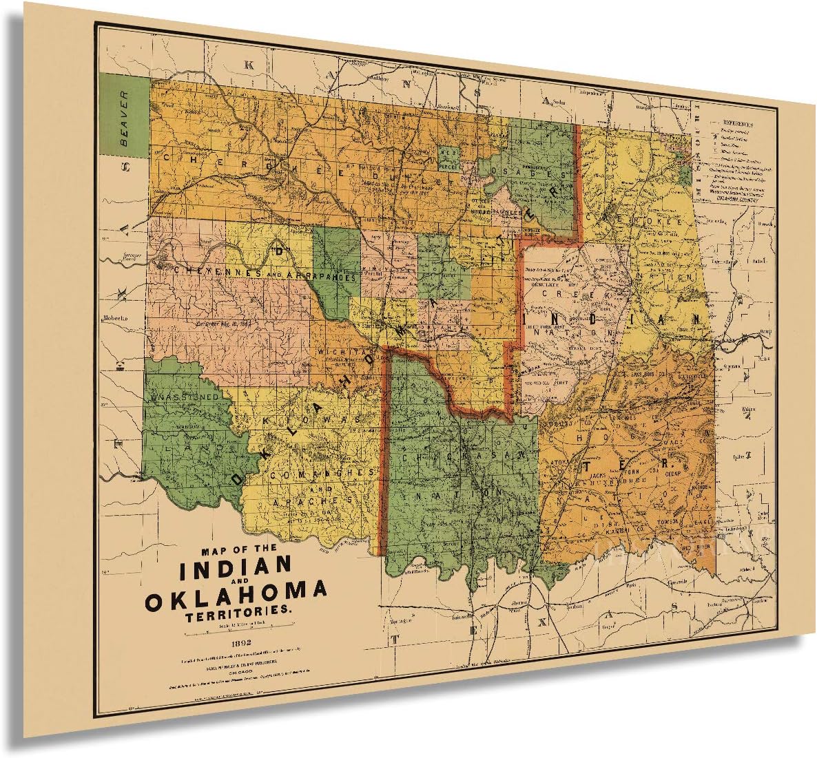 Maps - HISTORIX Vintage 1892 Map of the Indian and Oklahoma Territories - 24x36 Inch Vintage Map of Oklahoma Wall Art - Vintage Oklahoma Map - Indian Territory Map - Oklahoma Map Poster
 Maps - Antique Laminated World Map & US Map Poster Set - 18" x 29" - Wall Chart Maps of the World & United States - Made in the USA - (LAMINATED, 18" x 29")
![Maps - USA Map Poster - United States Map Chart [Purple] (Laminated, 18](https://images-na.ssl-images-amazon.com/images/I/91iSwmfTK1S._AC_SL1500_.jpg)
USA Map Poster - United States Map Chart [Purple] (Laminated, 18" x 29")
Maps - USA Map Poster - United States Map Chart [Purple] (Laminated, 18" x 29")

