

Features
Laminated Major Roads and Highways (Does not show every street/road)
Details
Looking for a detailed and visually stunning map of the Dallas-Fort Worth area? Look no further than our Dallas-Fort Worth TX ZIP Code Laminated Map! Measuring an impressive 48 inches wide by 36 inches tall, this map provides comprehensive coverage of the region's major roads and highways. Whether you're a local resident, a frequent visitor, or a business owner in the area, this map will serve as an invaluable tool to navigate the bustling cities and suburbs of Dallas and Fort Worth.
With its laminated design, our map offers extra durability and longevity, ensuring that it will withstand years of use. This means you can confidently refer to it whenever you need to plan a route, locate an address, or explore a new neighborhood. Plus, the laminated surface makes it easy to mark and erase spots of interest or important notes with a dry erase marker so that you can customize the map to your specific needs.
While our map doesn't show every single street or road, it focuses on the major thoroughfares that are crucial for getting around the Dallas-Fort Worth area. This streamlined approach allows for a clearer and more user-friendly map, helping you plot your course without overwhelming you with excessive details. Whether you're commuting to work, meeting friends for dinner, or embarking on a road trip, our map will provide a reliable and hassle-free navigation experience.
Don't miss out on this essential tool for anyone living in or traveling to the Dallas-Fort Worth area. Order your Dallas-Fort Worth TX ZIP Code Laminated Map today and gain the confidence to explore these vibrant and bustling cities with ease. Stay on track and make the most out of your time in one of Texas' most dynamic regions. Elevate your navigation game and order now!
Discover More Best Sellers in Maps
Shop Maps

 Maps - State Series Quarters Collector Map: Also Including the District of Columbia and Territorial Quarters
![Maps - Mount Hood [Mount Hood and Willamette National Forests] (National Geographic Trails Illustrated Map)](https://images-na.ssl-images-amazon.com/images/I/91WuwxAXzEL._AC_SL1500_.jpg)
Mount Hood [Mount Hood and Willamette National Forests] (National Geographic Trails Illustrated Map)
Maps - Mount Hood [Mount Hood and Willamette National Forests] (National Geographic Trails Illustrated Map)
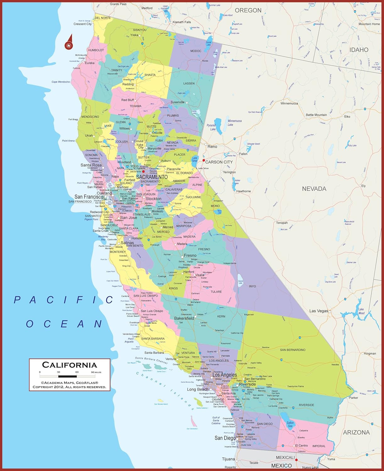 Maps - California State Wall Map | Giant 60x46 Inch Poster with Large, Easy to Read Text | Thick, Durable Lamination - Safe for Use with Wet/Dry Erase Marker

48x78 World Wall Map by Smithsonian Journeys - Blue Ocean Edition Laminated (48x78 Laminated)
Maps - 48x78 World Wall Map by Smithsonian Journeys - Blue Ocean Edition Laminated (48x78 Laminated)

Cool Owl Maps Montana State Wall Map Poster Rolled 34"Wx24"H (Paper)
Maps - Cool Owl Maps Montana State Wall Map Poster Rolled 34"Wx24"H (Paper)
 Maps - Epic Adventure Maps US National Parks Scratch Off Poster, National Park Posters Reveals Pine Shaped Nature Photographs, Beige, 24 x 17 Inches

National Geographic: Peoples of Africa 1971 - Historic Wall Map Series - 24.5 x 22.5 - Paper Rolled
Maps - National Geographic: Peoples of Africa 1971 - Historic Wall Map Series - 24.5 x 22.5 - Paper Rolled

Pictorial Poster Map of Ireland - 23.4 x 16.5 inches - Paper Laminated
 Maps - Pictorial Poster Map of Ireland - 23.4 x 16.5 inches - Paper Laminated

