

Features
- Classroom essential
- Ideal for geography lessons and state capital practice
- Educational and collaborative
- Enhance learning and brainstorming sessions
- Blank canvas: No words, just the United States of America map
- Dry erasable: easily write and wipe off information
- Laminated: Durable 3mm laminate for long-lasting use
Details
Are you searching for a classroom essential that promotes interactive learning? Look no further than our Blank Map of USA Dry Erase poster. With its 18x24 size, this large laminated poster is perfect for displaying in any educational setting. Whether you're teaching geography lessons or practicing state capitals, this poster provides a clear and detailed representation of all 50 states.
Educational and collaborative, this map encourages students to actively participate in their learning. It serves as a blank canvas, allowing students to visualize and explore the United States of America without distractions. No words, just a clean map that sparks curiosity and encourages critical thinking.
Dry erasable and easy to wipe off, this poster enables teachers and students to jot down important information, notes, and ideas during lessons or group discussions. With its laminated surface, this poster is not only durable but also provides a smooth writing experience. The 3mm laminate ensures long-lasting use, making it a valuable addition to any classroom.
Enhance your learning environment with our Blank Map of USA Dry Erase poster today! Grab your markers and let the interactive and collaborative learning begin. Shop now to bring this essential tool into your classroom and unlock endless possibilities for exploration and knowledge. Click here to get yours now!
Discover More Best Sellers in Maps
Shop Maps

National Parks Map Poster Slate Edition (36W x 24H inches)
 Maps - National Parks Map Poster Slate Edition (36W x 24H inches)

 Maps - Gifts Delight Laminated 36x24 Poster: Road Map - in high- Highways map of The USA. The USA Highways map in high- Vidiani
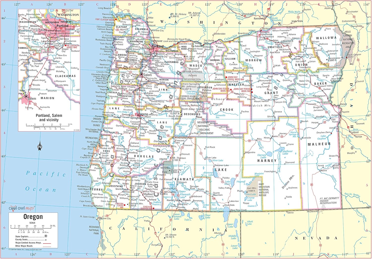
Cool Owl Maps Oregon State Wall Map Poster Rolled (Paper 34"x24")
Maps - Cool Owl Maps Oregon State Wall Map Poster Rolled (Paper 34"x24")

 Maps - HISTORIX Vintage 1829 Pennsylvania State Map - 24x36 Inch Vintage Map Pennsylvania Wall Art - Map of Pennsylvania State - PA Wall Art - Map of Pennsylvania State - Old Pennsylvania Map
 Maps - Palace Learning Laminated USA Map - 18" x 29" - Wall Chart Map of The United States of America - Made in The USA - Updated (Laminated, 18" x 29")

 Maps - USA Travel Size Push Pin Map 24" x 17" - Unframed Travel Poster to Mark Your Adventures Around The USA - Travel Camping Gift - Travel Decor (Aqua)

Pictorial Poster Map of Israel - 23.4 x 16.5 inches - Paper Laminated
 Maps - Pictorial Poster Map of Israel - 23.4 x 16.5 inches - Paper Laminated

26"x24" Detailed map of Texas with boundaries, state capital Austin and major cities【Laminated】
Maps - 26"x24" Detailed map of Texas with boundaries, state capital Austin and major cities【Laminated】
