
USA Wall Map for Kids with Illustrations- United States Poster Map for Home or Classroom, (18” x 29” Laminated)

$9.99
Details
Looking for an educational and visually appealing way to teach your kids about the United States? Look no further than our USA Wall Map for Kids with Illustrations! Designed specifically with children in mind, this poster map is a perfect addition to any home or classroom. With its vibrant and engaging illustrations, it's bound to captivate your child's attention and make learning fun!
Our United States Poster Map is not only informative, but also durable and long-lasting. Measuring 18” x 29” and laminated, this map is built to withstand the wear and tear of busy little hands. No need to worry about accidental spills or messy fingerprints – simply wipe it clean and it's good as new! Its compact size also makes it easy to hang on any wall, saving valuable space in your child's room or classroom.
What sets our USA Wall Map apart from the rest is the attention to detail and the inclusion of illustrations that are both relevant and captivating. Every state is represented by its famous landmarks, key cities, and notable icons, making the learning experience not only educational but also visually stimulating. From the Statue of Liberty in New York to the Golden Gate Bridge in California, your child will be delighted as they explore the diverse beauty of the United States.
Invest in your child's future and foster a love for geography with our USA Wall Map for Kids with Illustrations. Whether you're a parent, teacher, or homeschooling educator, this map is a valuable tool for helping children understand and appreciate the vastness and diversity of our great nation. Don't miss out on this opportunity – get your very own map today and embark on a journey of knowledge and exploration!
Ready to bring the world to your child's fingertips? Purchase our USA Wall Map for Kids with Illustrations now and give them the gift of knowledge and adventure! Click here to order.
Discover More Best Sellers in Maps
Shop Maps

Upside Down World Political Wall Map - 39.25" x 27.5" Matte Plastic
 Maps - Upside Down World Political Wall Map - 39.25" x 27.5" Matte Plastic
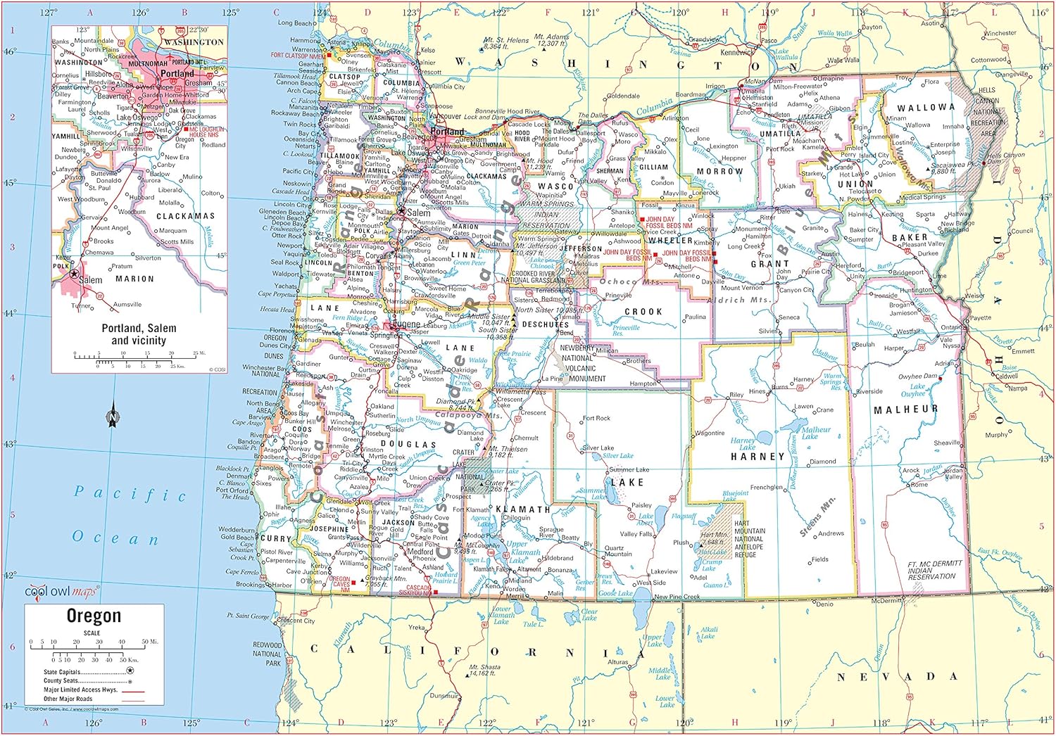
Cool Owl Maps Oregon State Wall Map Poster Rolled (Laminated 34x24)
Maps - Cool Owl Maps Oregon State Wall Map Poster Rolled (Laminated 34x24)

Cool Owl Maps Texas State Wall Map Poster Rolled (Paper 30"x31")
Maps - Cool Owl Maps Texas State Wall Map Poster Rolled (Paper 30"x31")

Cool Owl Maps Arizona State Wall Map Poster Rolled (Laminated 24"x30")
Maps - Cool Owl Maps Arizona State Wall Map Poster Rolled (Laminated 24"x30")
 Maps - Scratch Off World and USA Travel Map XL Poster w Precision Scratch Tools 33" x 23" –197 Countries/Flags w Detailed Cartography, Great Wall Decor, Gift
 Maps - Oregon State Hand-Drawn Map Poster - Authentic 24x18 Vintage-Style Wall Art - Lithographic Print with Soy-Based Inks - Unique Gift for History Buffs, Travelers, Teachers, or Home Decor - All-Ages - Made In USA
 Maps - HISTORIX 2006 Latin America Map Poster - 24x30 Inch Central and South America Map - Latin American Poster - South America Map Poster - South America Wall Map

Hubbard Scientific Michigan Raised Relief Map, Unframed, Green
 Maps - Hubbard Scientific Michigan Raised Relief Map, Unframed, Green
